


In a city as fit as Austin, it’s no surprise that there are miles and miles of running trails in and around the city. Whether you’re training for a race or just running for fun, it’s easy to find a trail near you. Did we miss your favorite trail? Leave us a comment and let us know!
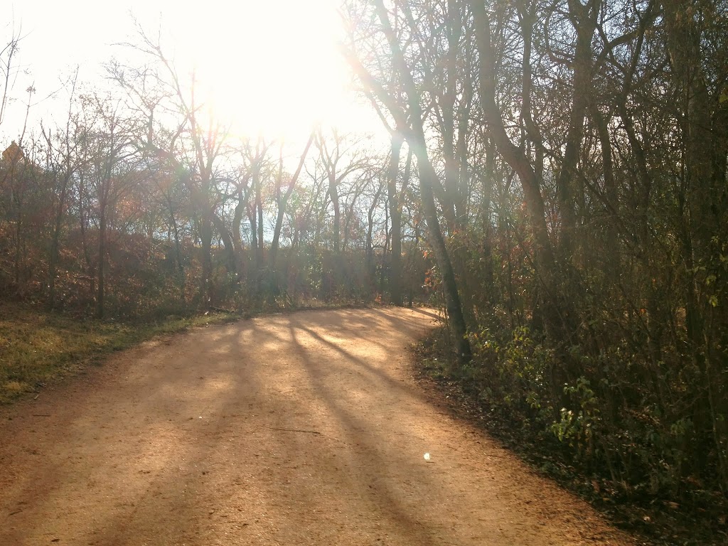 |
| A rarely deserted section of the Lady Bird Lake Hike and Bike Trail |
North Austin
Walnut Creek Metropolitan Park (15 miles)
Walnut Creek Park’s rugged, hilly trails are popular with mountain bikers, but great for runners too. Please note that some of the existing trails within the park are currently closed to the public until September 2014 for construction. Phase 1 of the Northern Walnut Creek Trail construction will connect Balcones District Park to Walnut Creek Metropolitan Park. Click here for details. 12138 N. Lamar Blvd.
Riata Park Trail (> 1 mile)
This one mile loop around Riata Park is great for a short run, or you can do laps for a longer one. 12401 Riata Trace.
Springwoods Park (> 1 mile)
At just under a mile, the trail winding through Springwoods Park is perfect for a run while the kids play on the playground, or even while they bike with you! 9117 Anderson Mill Rd.
Wells Branch Hike & Bike Trail (~ 6 miles)
Spanning about six miles, the Wells Branch Hike and Bike Trail allows access to the recreation center, Willow Bend pool, the soccer fields, Mills Pond, Katherine Fleischer Park, the disc golf course, and Northwest Elementary School. Find the map here.
Lake Creek Trail (1.5 miles)
Lake Creek Trail is a 1.5 mile concrete trail that runs along Lake Creek, crossing through the Town and Country Optimist Fields, and ending at Parmer Lane. The trailhead, located at the end of Briar Hollow Drive, has 20 parking spaces and there are park benches situated on 13 acres.
Central Austin
Lady Bird Lake Hike & Bike Trail (10 miles)
Easily the most popular trail in Austin, the Lady Bird Lake Hike & Bike Trail boasts 10 miles of trails trails along Lady Bird Lake for runners, walkers, and cyclists. There are several places to enter the trail, which reaches as far west as Mopac and as far east as Pleasant Valley Road. The city is currently constructing a Boardwalk Trail to connect the current end of the trail by the Austin American Statesman Building to Lakeshore Park, closing the southeastern gap of the hike and bike trail. Currently, pedestrians, runners and bikers are forced to use the Riverside Drive sidewalk over Interstate 35 to complete the 10.1 mile trail loop. 1st Street Bridge at Lady Bird Lake.
Shoal Creek Trail (distance unknown)
Running through Pease Park (1100 Kingsbury St.) and the Shoal Creek Greenbelt, which borders North Lamar Boulevard, the Shoal Creek Trail begins at Cesar Chavez at Shoal Beach and ends several miles later at 31st and North Lamar.
Butler Park (> 1 mile)
Run or walk the winding concrete pathways around Butler Park, spiraling up to the top of Doug Sahm Hill, and maybe stopping for a splash in the Liz Carpenter Fountain. 1000 Barton Springs Rd.
West Austin
St. Edward’s Park Trail (2.9 miles)
Off Spicewood Springs Rd, near Upper Bull Creek, the hidden St. Edward’s Park features 2.9 miles of trails with stream and hill country views. 7301 Spicewood Springs Rd.
Lower Bull Creek Greenbelt (Distance: > 6 miles)
With just under six total miles of trails, the Lower Bull Creek Greenbelt extends from the northern trail entrance at Old Spicewood Springs Road on the east side of Loop 360 to the Bull Creek District Park on Lakewood Drive. 7806 N. Capital of Texas Highway.
South Austin
Barton Creek Greenbelt (< 7 miles)
Over seven miles of trails feature view of both Barton Creek and the greenbelt. If weather permits, take a post run dip in the water. Access the trail off Loop 360. 3755-B Capital of Texas Hwy.
Mary Moore Searight Metropolitan Park (6 miles)
This South Austin park features six miles of trails, along with wide open spaces and an off-leash dog park. 907 Slaughter Ln.
Pflugerville
Pflugerville Lake Park (3 miles)
The trail at Pflugerville Lake Park is a 3 mile path that encompasses Lake Pflugerville. The best part is finishing your run and then soaking your feet at Lake Pflugerville’s beach. 18216 Weiss Ln.
Round Rock/Cedar Park/Leander
Brushy Creek Regional Trail (6.75 miles)
This extensive trail, mostly crushed granite, stretches 6.75 miles from east of Great Oaks Drive, along Brushy Creek, all the way west to 183 in Cedar Park. The trail runs through Creekside Park, Olsen Meadows Park, Champion Park, Brushy Creek Lake Park, Brushy Creek Sports Park, and Twin Lakes Park, providing rest and water stops for runners, walkers, and cyclists along the way.
Old Settler’s Park Trail (3.3 miles)
This huge park features 3.3 miles of paved trails winding throughout. The trail winds by the Dell Diamond, through the soccer complex, past the Rabb Pavilion and Lakeview Pavilion and playground, across the lake to the disc golf parking area. Trail map. 3300 E. Palm Valley Blvd., Round Rock.
Southwest Williamson County Regional Park Trail (distance unknown)
A crushed granite hike and bike trail runs around the perimeter of the 800 acre Southwest Williamson County Regional Park. 3005 C.R. 175, Leander.

Leigh Ann Torres is a freelance writer and blogger living in Austin with her husband and three girls. She’s a pretty good cook, a mediocre photographer, and a horrible housekeeper. She writes about the good, the bad, and the ridiculous of life with twins plus one at Genie in a Blog.


